In Herceg Novi, a city perched on steep slopes at the very entrance to the Bay of Kotor, one only needs to look up to see the Adriatic's blue merge with the green and rocky expanse of the Orjen mountain range. This isn't just a picturesque backdrop; it's an integral part of the urban landscape, where every street turn and every ascent promises a new, breathtaking perspective. City fortifications, such as Kanli Kula and Španjola, which served as defenses for centuries, now offer some of the most accessible and impressive panoramas. From here, views unfold across the winding shores of Boka, tiny islets, and the majestic peaks surrounding the bay.
Kanli Kula Fortress: A View from the City Heights
Kanli Kula Fortress, or the “Bloody Tower,” rises above Herceg Novi's old town, offering one of the most accessible panoramas. Its walls, steeped in history, now serve as a venue for cultural events and a vantage point for observing the city and the vast sea.
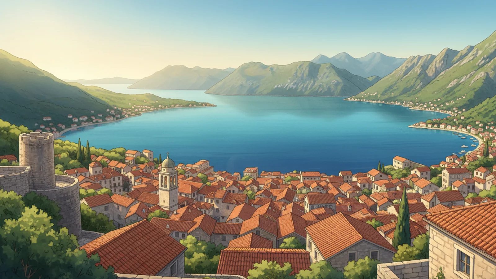
From the upper levels of the fortress, views extend over red-tiled roofs, winding streets, and the blue Adriatic. On a clear day, the outlines of the Luštica Peninsula and the entrance to Boka Kotorska are discernible. This perspective makes Kanli Kula a significant spot for those seeking elevated city views, allowing a sweeping gaze over a substantial portion of the coastline.
Access to Kanli Kula is relatively straightforward: signs and stairs lead from the city center, allowing for a pedestrian ascent to the fortress. This offers the opportunity to combine a visit to a historical monument with a gentle walk, gradually rising above the city's bustle and discovering new angles of Herceg Novi, which is convenient for most visitors.
Beyond daytime views, Kanli Kula offers a special atmosphere at sunset, when the sun dips behind the mountains, painting the sky in vibrant colors, and city lights begin to twinkle below. This time is ideal for photography and quiet contemplation, allowing one to experience the character of this place without undue rush or crowds.
Španjola: Panorama Above the Old Town
Španjola Fortress, situated higher than Kanli Kula, represents another significant vantage point for viewing Herceg Novi and its surroundings. Its strategic hilltop location provides a broader and more open view of the Bay of Kotor than the lower city fortifications, allowing for an appreciation of the landscape's scale.
The ascent to Španjola requires slightly more effort than to Kanli Kula but is rewarded with a sense of expansive space. From here, the panorama encompasses not only the city itself but also the surrounding mountains and the bay's entrance, where sea and land meet, offering a more comprehensive regional overview.
Španjola's walls, built at different times by various conquerors, stand today as witnesses to history. Walking along them, one can imagine guards watching for approaching ships and appreciate the site's importance for regional defense in past centuries, adding historical context to the views.
A visit to Španjola is recommended for those who value not only the views but also the opportunity to spend time in tranquility. This location allows one to see Herceg Novi from a new perspective, understand its geographical position, and enjoy the quiet away from the city's hustle, distinguishing it from more bustling urban spots.
The Path to Žlijebi: A Route for Mountain View Enthusiasts
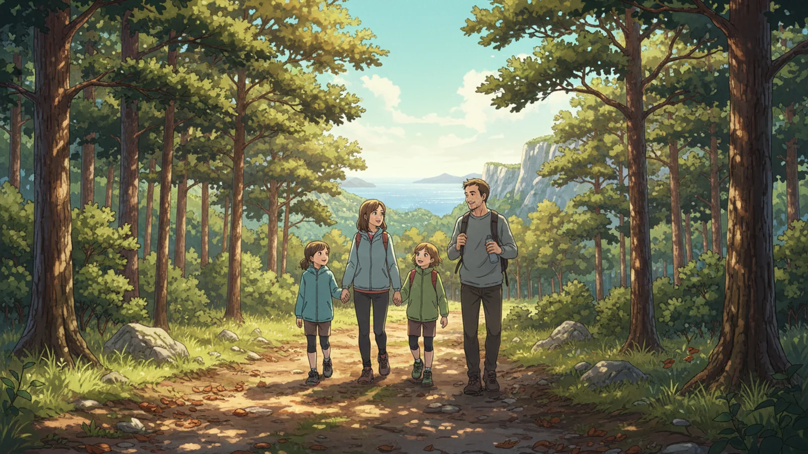
The route from Herceg Novi to the villages of Žlijebi and Žlijebska Lastva offers different panoramic experiences than the city fortresses. This is not an easy stroll but a full-fledged hike, leading deep into the mountain range and revealing views of the Bay of Kotor's entrance from a height, requiring a certain level of preparation.
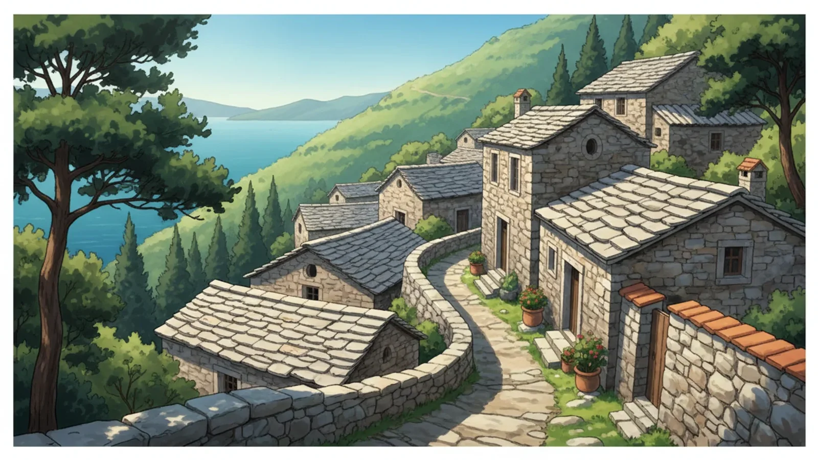
The path winds along picturesque mountain trails, past old stone houses and olive groves, allowing one to experience the authentic atmosphere of the Montenegrin hinterland. With each new elevation, increasingly expansive perspectives of the bay, its curves, and the surrounding mountains unfold, making the route visually rich.
The village of Žlijebi is known for its traditional architecture and location, offering views of the Adriatic and the bay's entrance. This is a place for those willing to undertake physical exertion for natural landscapes and the chance to see the region from an unusual angle, setting it apart from typical tourist routes.
Before embarking on this route, it's crucial to consider weather conditions, have appropriate footwear, and carry sufficient water. While the views are worth it, this is not a walk in a city park but rather an adventure for prepared travelers seeking solitude and expansive panoramas, which should be considered when planning.
Trešnja: A Rest Stop with a View in Orjen Park
Within Orjen Nature Park, known for its mountain landscapes and developed infrastructure for active recreation, Trešnja holds a special place. It is not merely a viewpoint but a complete resting spot, integrated into the network of hiking trails.
Trešnja is situated to offer views of a significant portion of Boka Kotorska and the surrounding mountain ranges. It is a popular spot for photography and contemplation, where mountain ridges gently descend to the sea. Here, nature reveals itself in all its rugged beauty, creating a landscape characteristic of this Montenegrin region where mountains meet the bay.
This location serves as a landmark for those exploring the Orjen mountain trails. Trešnja offers not only a scenic view but also an opportunity to replenish water supplies or rest before continuing the journey. The park's infrastructure provides amenities for tourists, making Trešnja accessible and comfortable to visit, even if you don't plan a long hike through Orjen.
A visit to Trešnja allows one to appreciate the scale and diversity of Orjen Nature Park, showcasing it as a place where mountain tourism combines with peaceful outdoor relaxation. It's an excellent spot to feel part of the mountain system and enjoy fresh air away from the city's hustle, with views of the Adriatic Sea and surrounding peaks.
Topography: Why Herceg Novi is So Picturesque
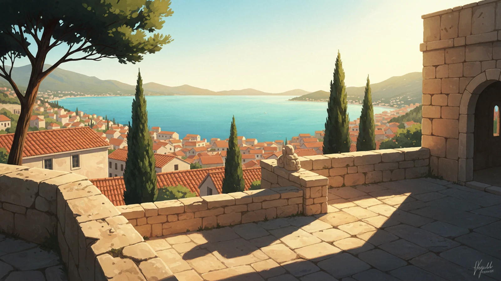
Herceg Novi, situated on slopes above the entrance to Boka Kotorska, owes its picturesque quality precisely to this geographical location. The city cascades down to the sea, creating natural terraces and levels. From these, constantly changing but always impressive views of the bay and surrounding mountains unfold, forming its unique appearance and character.
This location allows the city to offer numerous natural viewpoints that require no special structures. Practically any street ascending from the promenade provides a panorama of the bay. From the upper districts, views encompass not only Boka but also distant mountain ranges, including the Orjen massif, expanding the perspective.
Herceg Novi's topography also contributes to a microclimate that keeps the city green and blooming for most of the year. The slopes protect against strong winds and create conditions for lush Mediterranean vegetation.
It is thanks to its topography that Herceg Novi has become a place where the sea and mountains do not merely coexist but merge into a single harmonious picture. This creates a sense of space and freedom, valued by travelers seeking inspiration in natural landscapes.
Safety on Trails: What to Consider Before Setting Out
When planning hikes around Herceg Novi, especially on mountain trails, it's crucial to pay attention to safety. Before setting out, always check the current condition of the trails, especially after rain or during transitional seasons.
Be sure to study the route in advance, using reliable sources such as official tourism organization websites or specialized apps. Confirm the trail length, elevation changes, and availability of water sources. Do not rely solely on intuition or outdated maps, especially in unfamiliar terrain, to avoid unforeseen situations.
Proper equipment plays a key role in the safety and comfort of hiking. Comfortable shoes with good grip, weather-appropriate clothing, a hat, sufficient drinking water, and a small snack are the minimum for any walk.
Always inform someone of your plans and estimated return time, especially if you are heading to remote areas or going alone. Do not overestimate your abilities and be prepared to change your route or turn back if weather conditions worsen or you feel unwell.
Accessibility of Viewpoints: On Foot or by Transport
The fortresses of Kanli Kula and Španjola, located directly above Herceg Novi, are accessible for walks from the city center. The ascent to them does not require special preparation but involves steps and inclines, characteristic of the urban landscape.
For longer routes leading to places like Žlijebi, planning will be required. While part of the journey can be walked, it is often more convenient to use a car to reach the starting point of the route or return from remote villages.
The route to Trešnja, located in Orjen Park, also implies using transport to reach the starting point. From there, hiking trails of varying difficulty begin. This location is suitable for those seeking a combination of vehicular accessibility and the opportunity to delve into natural landscapes, enjoying panoramic views of Boka Kotorska.
The choice of transportation depends on physical fitness and preferences. City fortresses offer easy access to impressive views, while mountain routes require more preparation and, typically, the use of personal or rented transport for comfortable travel to the trailheads and back. This is important to consider when planning.
Best Time for Panoramas: Light and Weather
Morning hours, immediately after sunrise, offer soft, diffused light that is ideal for photography and contemplation. At this time, the air is usually clearest, ensuring maximum visibility and allowing details of the coastline and mountains to be seen.
Evening hours, especially an hour before sunset, provide the “golden hour,” when the light becomes warm and rich, painting the sea and mountains in deep hues. This period is suitable for creating atmospheric shots and observing the sun slowly dipping below the horizon, illuminating the bay with its last rays. The views gain particular expressiveness.
Clear, cloudless weather guarantees the best conditions for viewing, allowing one to see far beyond the bay. However, light cloud cover can add drama to the landscape, creating interesting shadows and plays of light. Rainy or very overcast days should be avoided, as visibility significantly deteriorates, and the panorama loses its appeal.
Midday summer heat can be tiring for long walks and sightseeing. At this time, the light becomes harsh, creating strong contrasts and glare on the water. Therefore, for comfortable enjoyment of the views and obtaining the best photographs, it is preferable to choose early morning or pre-sunset hours when the air temperature is more comfortable.
Checking Information: Relevance Before Your Trip
Before planning any route to the viewpoints of Herceg Novi, it is crucial to ascertain the current condition of trails and the accessibility of sites. Weather conditions, especially during transitional seasons, can affect the passability of mountain roads and the safety of hiking trails, so it is recommended to check local weather forecasts and warnings.
Information on the operating hours of fortresses, such as Kanli Kula and Španjola, as well as entrance fees, may change. Before visiting, it is advisable to consult the official websites of Herceg Novi tourism organizations or contact local information centers for the most up-to-date data to avoid unpleasant surprises.
For routes in Orjen Park, including the path to Trešnja, it is recommended to check information on specialized resources dedicated to mountain tourism in Montenegro. These sites often contain current data on trail conditions, water availability along the route, and possible restrictions related to conservation efforts or seasonal conditions.
The dynamic nature of conditions requires a careful approach to planning. Do not rely solely on outdated guidebooks or general descriptions. Actively using official sources and consulting with locals or guides will help make your trip safe and as enjoyable as possible, ensuring access to the best panoramas.
Maps and Navigation: How Not to Get Lost
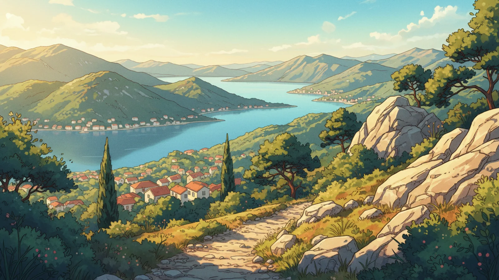
When planning routes above Herceg Novi, especially in mountainous areas like Orjen, it's important to use up-to-date maps. Outdated maps can lead to wasted time and effort, and in rugged terrain, to undesirable situations. It is recommended to choose specialized tourist maps that mark trails, water sources, and key landmarks to avoid unforeseen difficulties along the way.
Modern smartphone apps with GPS navigation simplify orientation, but it's important to download offline maps of the region in advance, as mobile reception in the mountains can be unstable. Before setting out, always check your device's battery level and bring a portable charger.
Do not rely entirely on electronics. A paper map and compass remain reliable tools, especially if gadgets fail or in bad weather when visibility is limited. The ability to read topographical maps will help you understand the terrain's features, which is particularly relevant for routes to Žlijebi or Trešnja, where the landscape can be challenging.
Before any mountain hike, even if it seems easy, it's useful to read reviews from other travelers and check local information sources about trail conditions. Routes may be temporarily closed due to weather, maintenance work, or other factors that are not always reported on outdated maps or in general guidebooks.
Infrastructure on the Trail: What to Expect in the Mountains
On mountain trails around Herceg Novi, especially towards Orjen Park, the infrastructure differs from that of the city. Within the city and near Kanli Kula and Španjola fortresses, there are shops and cafes, but in the mountains, such amenities are absent. Preparation for a hike should include a sufficient supply of water and food for the entire duration of the route to avoid discomfort.
Signposts are found on some sections of mountain trails, but their number and condition vary. It is important to carefully follow the markings to avoid getting lost, especially at junctions or where the trail is not clearly defined. The absence of clear navigation requires heightened attention and experience in orienting oneself in the terrain, which should be considered when planning.
In remote areas, such as the vicinity of Žlijebi or Trešnja, there may be equipped resting places—benches or shelters from rain—but their presence is not guaranteed on every route. When planning a long hike, one should anticipate self-sufficiency for comfort and safety, including protection from the sun and possible precipitation.
Sources of drinking water in the mountains are infrequent, and their reliability depends on the season; some springs dry up in hot weather. It is always recommended to carry a sufficient supply of water or means for its purification if natural sources are planned to be used.
City Views vs. Mountain Panoramas: The Difference
Views from Herceg Novi's city fortifications, such as Kanli Kula and Španjola fortresses, offer a perspective on urban development, the bay, and nearby islands. These panoramas allow one to see the city's architectural heritage, its narrow streets, and red-tiled roofs merging with the blue of the Adriatic.
In contrast to city views, mountain panoramas from routes towards Žlijebi or from Orjen Park offer more expansive and wild landscapes. Here, the gaze encompasses not only the entrance to Boka Kotorska but also mountain ranges covered with forests and rocks.
City viewpoints are often easily accessible, require minimal physical effort, and suit most visitors. They represent short walks with the possibility of a quick return to urban infrastructure. This is a convenient option for those who want to enjoy the views without extensive preparation and special equipment, preferring comfort and accessibility.
Mountain routes leading to points like Trešnja require greater physical fitness, special footwear and clothing, and careful planning. The reward for these efforts is not only the views but also a sense of solitude with nature, peace, and quiet, unavailable within the city limits.
Frequently asked questions
Which fortresses in Herceg Novi offer the best panoramic views?
Kanli Kula and Španjola fortresses are key vantage points for viewing Herceg Novi. Kanli Kula, located above the old town, offers views of the bay and city rooftops. Španjola, situated higher, provides a broader panorama, encompassing the entrance to Boka Kotorska and the surrounding mountains. Both fortresses are accessible for visits and offer different angles for appreciating the landscape.
Is the route to Žlijebi village an easy walk for everyone?
The route to Žlijebi village, including Žlijebska Lastva, is known for its scenic views of the entrance to Boka Kotorska. However, it is not classified as an easy city stroll. It is more of a mountain trail, requiring a certain level of physical fitness and appropriate footwear. Before setting out, it is recommended to study its length and elevation gain to assess your capabilities.
Where is the Trešnja viewpoint located, and what kind of place is it?
Trešnja is a resting place with a viewpoint located within the trail system of Orjen Nature Park. It offers panoramic views of the surrounding mountain ranges and a portion of the coastline. It is not just a viewpoint but part of a more extensive network of hiking trails, making it attractive for those seeking a combination of active recreation and picturesque landscapes. Accessibility and trail conditions may vary.
Why is Herceg Novi considered a good place for simultaneous sea and mountain views?
Herceg Novi is uniquely situated on slopes that descend directly to the entrance of Boka Kotorska. This geographical position allows for simultaneous views of the vast sea and majestic mountain ranges from many points within the city and its surroundings. The city's topography, rising from the coast, creates natural terraces for observation, where the sea and mountains merge into a single panorama.
What should be checked before embarking on mountain routes around Herceg Novi?
Before heading out on mountain routes, such as the path to Žlijebi or into Orjen Park, it is important to check several key points. Confirm the accessibility of sites, the condition of trails, especially after bad weather, and any possible changes in prices or visiting hours if paid attractions are involved. Up-to-date information will help avoid unpleasant surprises and ensure a safe journey.
Panoramic views above Herceg Novi reveal the multifaceted beauty of Montenegro, where the Adriatic Sea meets the rugged peaks of Orjen. From historical city fortifications like Kanli Kula and Španjola to secluded mountain villages such as Žlijebi, each route offers its unique perspective. These places are not just points on a map but testaments to history and natural grandeur, accessible to the thoughtful traveler.
Sources and further reading
Plan your visit
Planning a trip to Orjen or interested in visiting Taverna Domestic? Contact the host directly to confirm current options and agree on the details in advance.
Send an enquiry